You sure have some crazy adventures! I'd collapse in a heap if I hiked one of those 20 mile loops. You go to some interesting places. It's a much slower pace doing trail work, sometimes I'll spend 2 days on 1/2 mile stretch.
I cleared the west end of 517 a couple months ago, camped for a couple days at that weird 3 way junction. It's really a great stretch of trail; I think it would get more use if not for 4611....The only people I saw the entire time were kayakers go figure. Word has it that it's an old Indian trail. And Sounds of 2 Rivers was one of the first F.S. trails climbing out of the Clacky, so you picked a historic loop. But you know all of this already I'm sure.
Were you parked at the bottom of Sounds on Friday? My kid and I headed out for a quick overnight to Cottonwood Meadows TH and there was a car down there. I was surprised, that trail doesn't get a heck of a lot of traffic.
Aha! The small internet world of people I've never met...
4611 seems pretty solid, but I don't know if I'd take a passenger car back there, which probably limits use. I guess a lot of the Clackamas backroads are like that! But at least it gives solitude (most of the time).
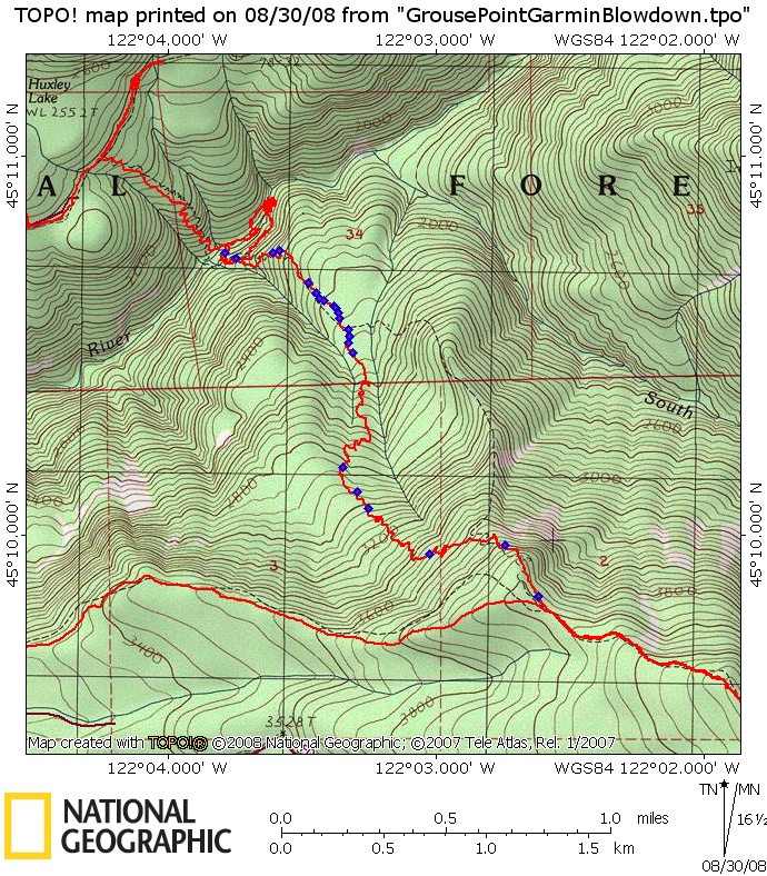
The old maps show 517 coming up past Huxley Lake on the NW side of the lake. I wonder if that's one of those map errors or there is trail up there. I didn't have time or energy to search when I was up there. If its there then it's been abandoned a very long time. Someone was mentioning that 517 originally came up to 4611 near that 3 way junction.