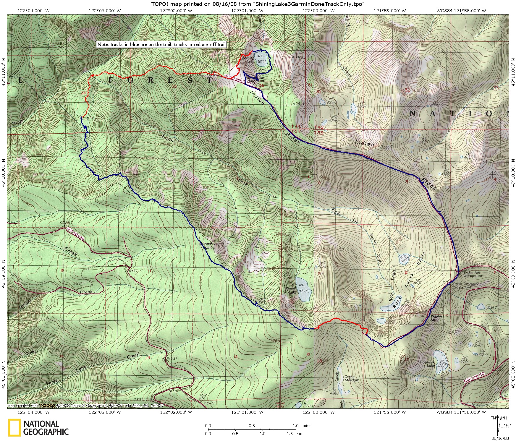
I think most of us know how bad the USGS TOPO map trail locations can be so I thought readers on this site might find the following map of the hike I did yesterday interesting.
Here is a link to the big version of the map. Various sizes are
here. The direction of the hike was counterclockwise in the direction of Shining Lake starting from Frazer Fork Campground. Eventually I'll go back and do the GPS track for this section of the 517 starting from 4611 to the intersection with Dry Ridge.
Since I was off trail coming to the intersection with the #517, it was important to get the waypoint for the intersection correct - after looking at the map, I attribute my use of the USGS TOPO trail information for locating the intersection with the #517 to dumb luck My waypoint was right on but when I got there, I had to stand in the trail to actually see the path as it is so faint. My kind of trail. I walked off it only once and another time had to head scratch. There's blaze, ribbons here and there - very steep in spots.
And another item from the GPS track, I can see why people miss Grouse Point - the trail doesn't exactly go there.
It was a great day - the heat got to me towards the end - mosquitoes were real bad at times.
--Paul
Paul Turner