
I have been locating portions of this trail in the last month or so because of the lack of snow that has allowed me access most of the winter to this area. This trail follows the Clackamas River above Austin Hot Springs on its way to the upper Clackamas country. That is why I have called it the Upper Clackamas River Trail, for a lack of any official name or number. The 46 road wiped out most of this trail, but there are sections that do exist and are walkable. I use the old '38 map as my reference.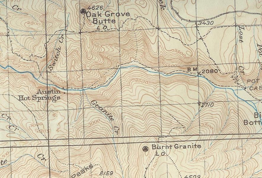
There is a double trail that shows on the map just up river of Austin Hot Springs. I have located some of the upper trail, but I believe most of the lower trail is gone because of road construction in this area. Here is a picture of a section of the upper trail that I located.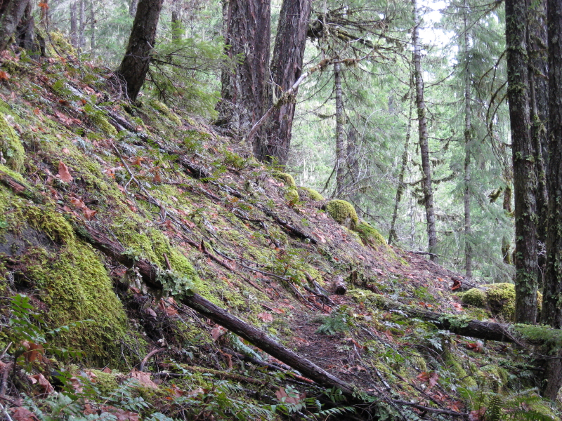
Further upriver I located a section of the same trail about a half a mile long that exists above the road and is in good shape. Here is a photo of that section.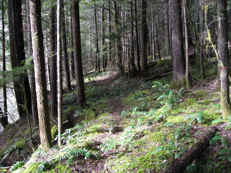
I believe more of this trail is out there , but I haven't located it yet. This section crossed three creeks and had an old foot bridge over one of the unnamed creeks. Here is a picture of that foot bridge.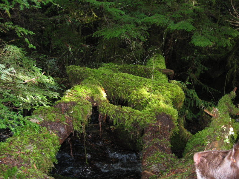
My dog Murphy got his nose in that picture, but it was the only photo that I got of that bridge that turned out . Next weekend I hope to get out again and wander about the countryside and look for more trail.