
What trail am I on?
D
It has been awhile so I thought that I shoud start up the never ending game of "What trail am I on? So here is a picture, you tell me what trail in our district was this picture taken from. It is from a current district trail. You oldtimers let some of the newer folks have a chance.
R
Is it an official trail or an old/abandonded trail? Is it in a wilderness area?
D
Rob Williams said:
It is a current "official" district trail that is not in a wilderness area.
Is it an official trail or an old/abandonded trail? Is it in a wilderness area?
It is a current "official" district trail that is not in a wilderness area.
D
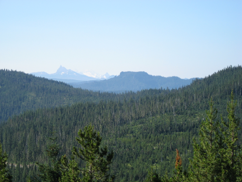
Well the newer folks are not responding. It looks like Rho Ridge country judging by the timber mix and the progressive logging.
Donovan
D
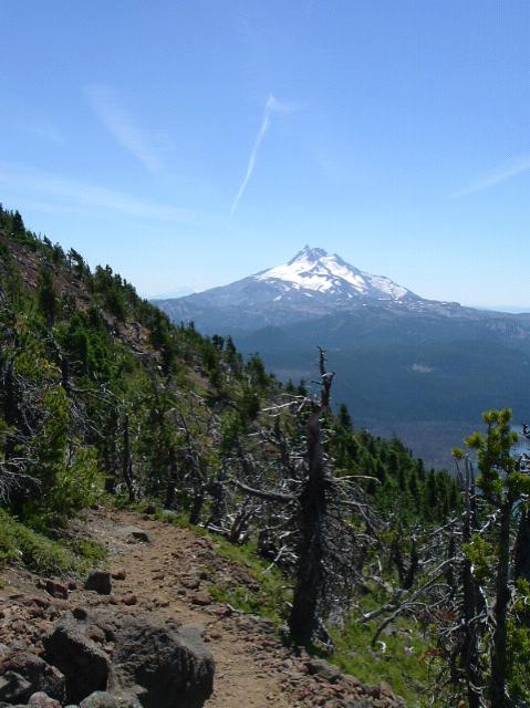
You are right Donavon, it's from the Rho Ridge Trail south of Hawk Mtn.
Sorry I posted this photo and went off to a weeks vacation out in the desert.
Your turn to post a photo.
D
 Here you are. What trail am I on?
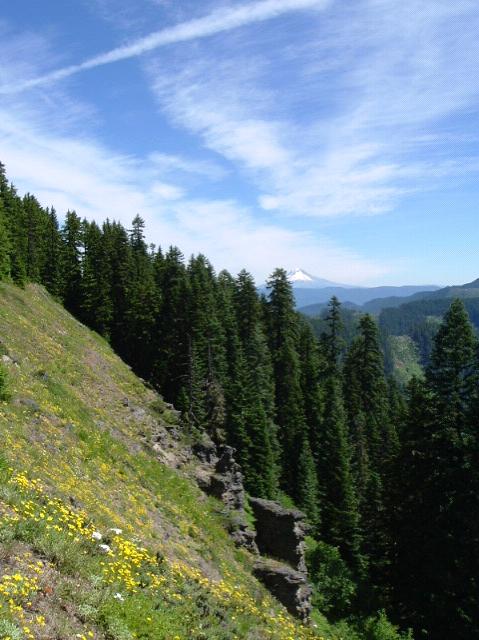
B
Back before the Forest Service abandoned it, this was Trail 545. Its on the divide between the Clackamas and Molalla, pix showing the Clackamas side. Easily accessed from the Molalla side if you know where to look for the unmarked trailhead. This is one of the best spots to study geology. Baty Butte (aka 'Old Whitespot') is best viewed from a little north on this trail. This trail brings you to a nice near vertical rock scramble up Baty Butte's north side to the white spot and the knife-edged peak, where grows one of the southernmost populations of Douglasia.
Here is a picture of 'Flow Face', which is in the mid-distance in your shot.
D
Score! Now it's your turn.
What is Douglasia?
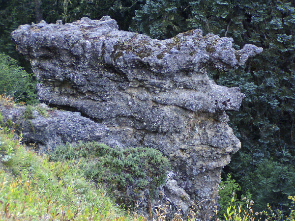
The white I always figured was something here before all the lava flows. Seems like Whetstone Mt has some old sediment stuff on it's south side.
Donovan
B
Douglasia is a small plant reminiscent of our alpine phlox but instead in the primrose family, bright pink and very showy. Grows most often in crevices in cliffs and sometimes on rocky ground.
The white stuff is actually pumice. On close inspection it is a U-shaped valley fill resulting from two events, the bottom pure white pumice and the larger top section with black basalt chunks mixed in. So however many millions of years ago Baty Butte was part of the middle slopes of a large at least somewhat explosive volcano.
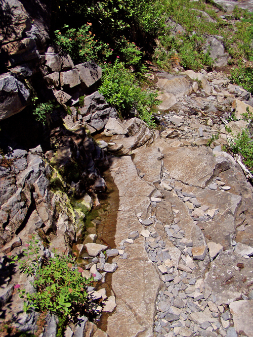
Here you are again. What trail am I on? The picture is of the trail itself.
D
You are on the Skyline Trail (PCT) at the outlet of Cigar Lake and the junction with the Top Lake Trail. I think.
D
So is trail a current district trail, and is it in a wilderness area?
We need a little more communication if this game is to work.
B
Well, I had replied once before several days ago but it looks like it didn't take.
Donovan is correct. The water on the trail is seepage from Cigar Lake, though the main creek outlet is at the NE corner of the lake. The picture is very close to the junctions of 2000, 719 and 735.
So, Donovan, it is your turn!
D
 OK then. Here you are. What trail am I on?
Donovan
OK then. Here you are. What trail am I on?
DonovanB
Looks suspiciously like fairly high up on the trail up Olallie Butte.
D
So much for the trick question, picture, etc..
Your turn.
B
Here we go again! Near the end of what trail am I stopped on?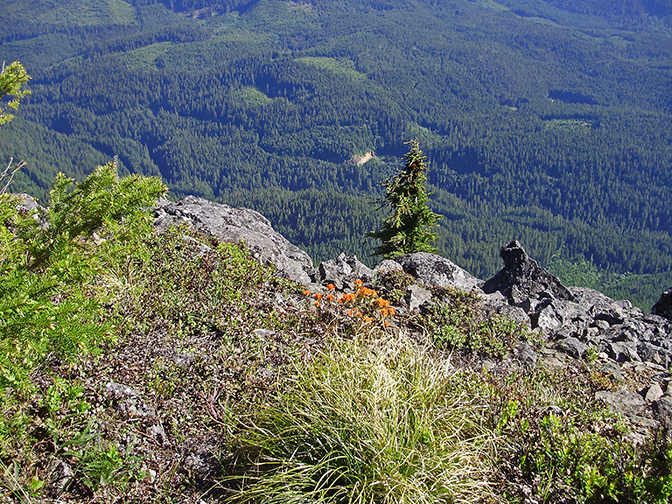
R
It looks very familiar but I can't place it. Any hints?
B
A good hint is that the bottom of the cliff/talus slope is about 3400 ft. lower than where my toes are.
Not many places like that!
D
Kind of seems like the Rimrock to me. With the 57 road cut below.
Donovan
B
Its not Rimrock proper. But you are getting warmer, warmer....A certain popular lake is so close you can't see it from here.
Log in to reply.