
What Trail am I am - Fall Edition
B
I'll try the littlest bit I can - is it the ridgeline trail just north of Mother Lode Basin heading towards Bull of the Woods?
Bryon
K
All that moss and the recent clues got me to thinking that it's somewhere along the northern part of the Bagby Trail?
Kirk
R
Wow - you guys are dancing all around it. Keep trying. I have another clue, but if I post it, I think it will give it away.
D
Whetstone Mtn Trail?
Don2
D
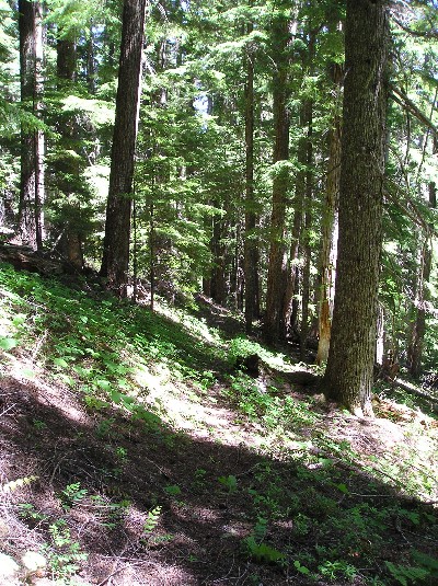
It kind of looks like the Dickey Creek trail, as it starts to climb after having dropped down that initial steeeep slope near the old trailhead. It passes through an area of thick, pillowy moss right in there.
R
Doug Firman said It kind of looks like the Dickey Creek trail, as it starts to climb after having dropped down that initial steeeep slope near the old trailhead. It passes through an area of thick, pillowy moss right in there.We have a winner! And that is exactly the location the photo was taken. FYI, my giveaway clue was going to be "this was taken near some of the worst trail in the district." That steep downhill section on Dickey Creek is TERRIBLE.
K
Rob Williams saidSo was I right in thinking that the picture was taken fairly near the stream? It looks like you were around 2,600'? KirkWe have a winner! And that is exactly the location the photo was taken.FYI, my giveaway clue was going to be "this was taken near some of the worst trail in the district." That steep downhill section on Dickey Creek is TERRIBLE.
D
Have any of you looked to see if the real trail continues down stream?
That stupid slide ramp I always figured was there because the road ran out that far.
But it seems to me, there ought to be proper trail downstream, rising gradually out of the canyon on a tangent.
Don2
R
I haven't been on that trail in several years now, even though I really like it. Next time I'm on it, maybe I'll see if I can find trail downstream.
D
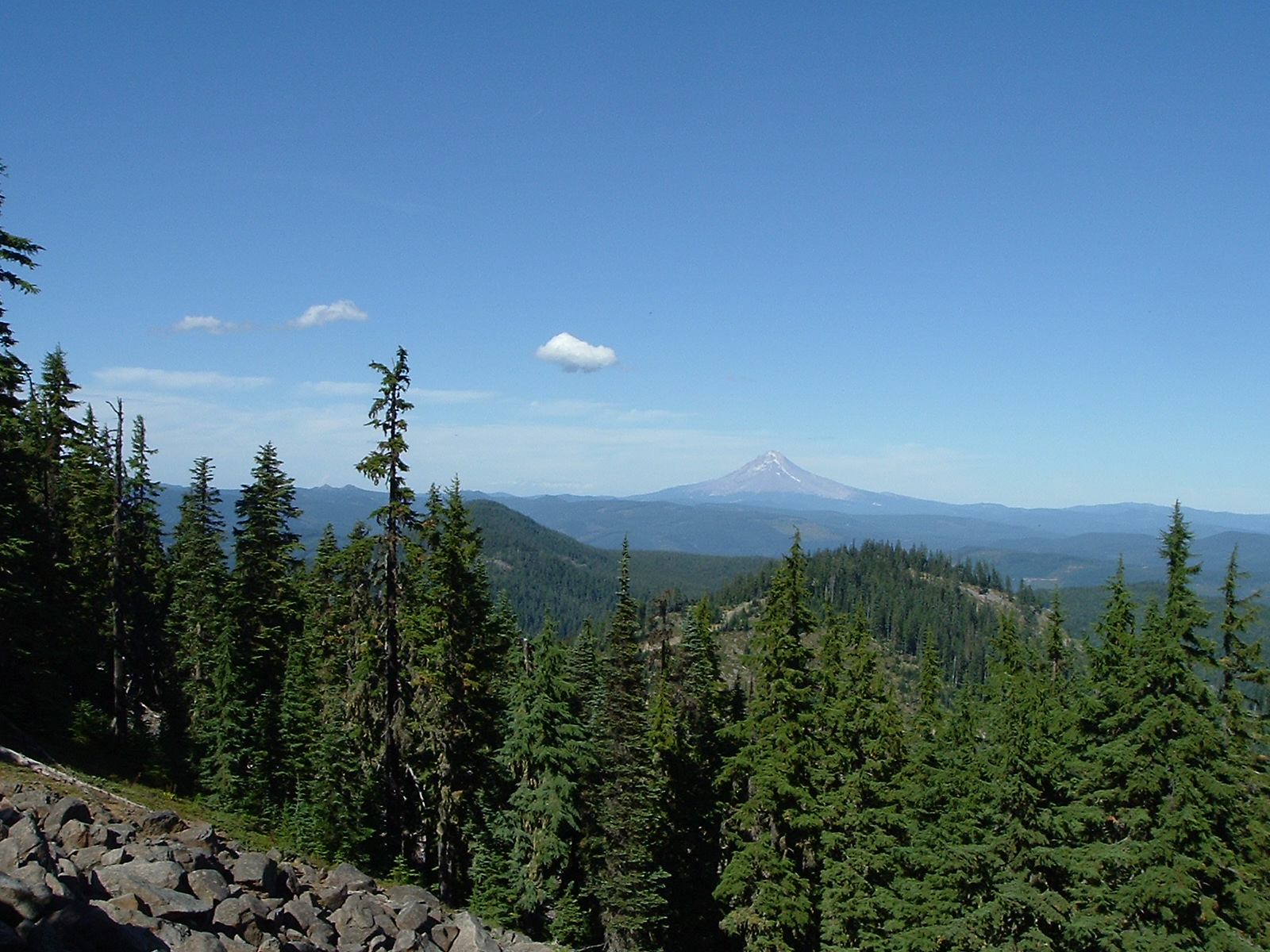
Donovan said Have any of you looked to see if the real trail continues down stream? Don2I haven't looked for it myself. It sure would be nice if there were a gentler route. Here is another trail in the district. Anyone know which one it is?
R
That doesn't look like a very heavily used trail. Is it an official trail? Or abandoned?
D
It's listed in the "trail index" on this website and has a number.
D
Rho Creek?
Don2
D
Yes, it's Rho Creek, where the trail comes out of the woods into the first clearcut.
D
 OK gentleman, what trail am I on?
Don2
OK gentleman, what trail am I on?
Don2B
Rhododendron Ridge near Mount Lowe
B
Here is my photo from the same spot.
Great minds photograph alike. Yours used a little more telephoto and was later in the season.
Bryon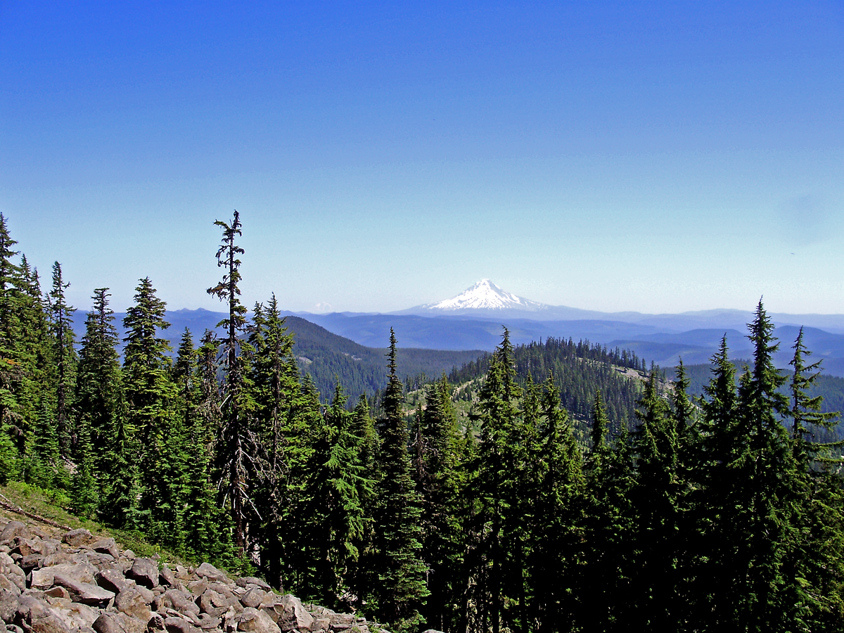
D
There's not that many views along the trail. That was pretty fast tho.
Don2
B
This haircap moss rock garden is just to the right as you head uphill on this trail.
Its not in a wilderness area. 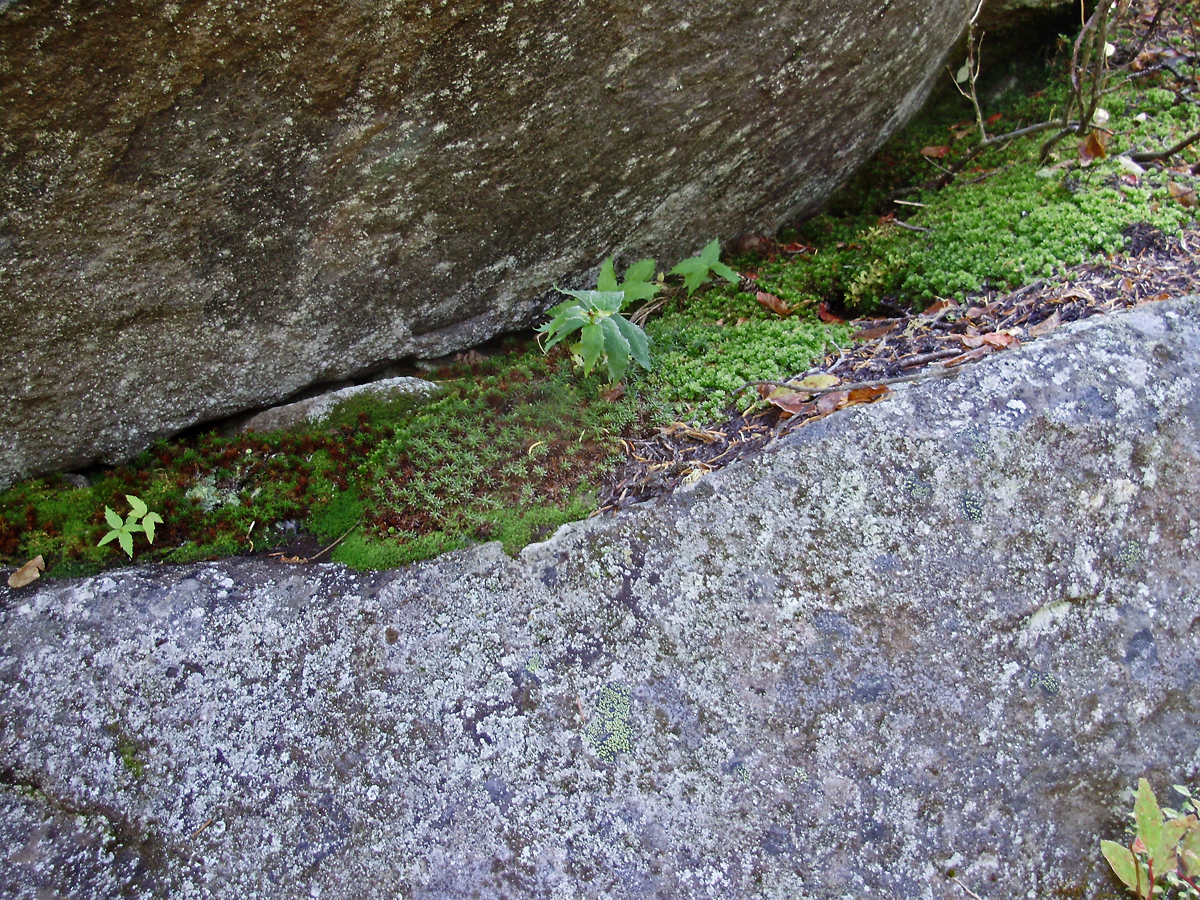
D
Unless you're going the other way?
Or is this a no outlet trail?
Don 2
Log in to reply.