
What trail am I on? Spring 2013 edition
D
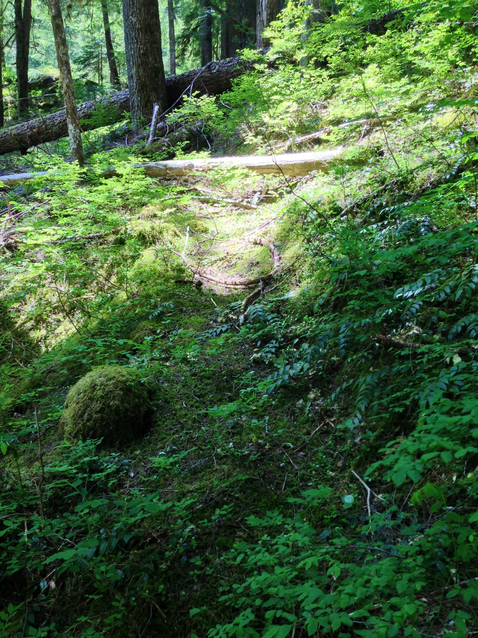
Looks a little bit steamy, if you catch my drift . . .
D 2
D
Austin is definitely in the area.
Don
B
Oak Grove Butte?
D
Yep!
B
Abandoned Trail
D
Brian that looks like a hundred other abandoned trails we have in our district, but my feet tell me I haven't been here. So enlighten us, is this abandoned trail in one of the new wilderness areas?
Don
D
Round Mountain?
D 2
B
Left side of district, low elevation, popular destination. This trail does enter a wilderness, but photo wasn't in one.
More southerly then Round Mtn
B
I didnt find any horns on this trail
B
One end comes from a 'High ridge'
D
Well I'd guess you found part of the lower end of the trail from Molalla along Nohorn Creek.
D 2
B
Ya, what was this trail called? I see it labeled as the High Ridge trail on the Molalla side, but no label on the Collowash side..?
D
So the dialog dies again! I have only been on one trail in the area the South Fork Mtn Trail that comes down from Baty Butte and crosses Nohorn Creek to the west of the present trailhead of Bagby Hot Springs. It looks like Brian is a little further west. So you located a trail down low, but upstream from where I have been, the Nohorn Creek Trail?These Molalla / Clackamas divide trails usually cross up high. So is someone going to post one and start this thang going again!
Don
R
B
Did a vehicle curse keep myself from being at this location..? If so I'll keep quiet
R
BrianEdwards said Did a vehicle curse keep myself from being at this location..? If so I'll keep quietYes. And although you missed a fun trip, it was not nearly as easy as it looked on the map.
D
Rob you already told us where you were, you are on a decommissioned road in the district. Oh, you want to know which decom road you where on when you took this picture! I would say a safe guess would be you are in the southern Fish Creek drainage?
Don
R
Well Don, normally I would want a more specific answer (there are so many decommissioned roads in the Fish Creek drainage it is almost a sure bet), but since you are the only one who has responded in several days, you win. To be more specific, this was taken on a decommissioned road in the south of the Fish Creek Drainage - you are looking up Wear Creek to Wash Creek in the distance.
Your turn to post a photo
Log in to reply.