
What trail am I on?
K
Paul Turner said: Nope, go south…Okay, south...... is that the top of Mt. Jefferson peeking over the ridge?
P
Kirk Tolstrup said:
Mt. HoodPaul Turner said: Nope, go south…Okay, south...... is that the top of Mt. Jefferson peeking over the ridge?
D
I am thinking you may be in Bracket Mountain vicinity?
D.
P
Donovan said:
I am thinking you may be in Bracket Mountain vicinity? D.Nope, still further south - note the foreground ridge. --Paul
D
How about Janus Butte?
P
Donald Presley said:
How about Janus Butte?Getting close, but even further south. --Paul
D
Is that the Rapidan Trail alone the district's southern border?
P
Donald Presley said:
Is that the Rapidan Trail alone the district's southern border?Closer yet, but no. A short hint is go west watching out for predatory arthropods and a former senator from Montana. --Paul
D
How about the Scropion Mtn Trail?
P
Donald Presley said:
How about the Scropion Mtn Trail?I'll take it - I was likely either on or close to the Mansfield Mtn trail on the forest boundary between Mansfield and Scorpion Mtns. The boundary was blazed and had seen maintenance sometime in the last 40 years. My goal that day was Mansfield Mtn trail (not much left) and what is now the Short Mtn trail (I have it named on the '56 Battleax topo as the Scorpion Ridge trail). I also took a stab at the intersection of East Fork Way and the Janus Butte trail but ran out of gas - anybody been there? East Fork Way is near the top of my list as is the rest of the boundary trail in that area. All yours... --Paul
K
Paul Turner said:
Nope, still further south - note the foreground ridge.So is that ridge Rho Ridge? And if it is, then is that Gyp Point toward the right side of the photo? Kirk
P
Kirk Tolstrup said:
Paul Turner said:Yes, Rho Ridge and although I'm not 100% sure, I believe the open rocky slope on the right is around Gyp Point - I've never been there. I did not hike up to the summit of Mansfield Mtn where I think there's a better view - next time. --PaulNope, still further south - note the foreground ridge.So is that ridge Rho Ridge? And if it is, then is that Gyp Point toward the right side of the photo? Kirk
D
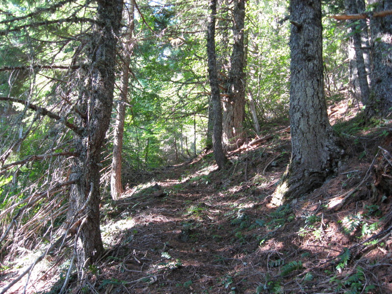
Here is a photo of an abandoned trail in our district, it is in one of the new wilderness areas.
D
No takers so far!. Here is another clue, the trail comes off one of the more infamous roads in our district that borders this wilderness area.
K
The Abbot Road?
D
Is this a trail that starts graded nice for the office staff inspection, and then degrades in a ladder steep chute?
D
D
Yes, Kirk, it comes off the Abbot Road.
Yes, Donavon, it starts out like a freeway pretty much on grade, then dumps you down into the canyon, living up to it's "way trail' designation.
K
Does the trail go through to Frazier Mtn. Road 4610-240?
D
Kirk Tolstrup said:
Does the trail go through to Frazier Mtn. Road 4610-240? Yes.
R
If that is the trail I think it is, it looks a lot sunnier and drier than the last time I saw it!
Log in to reply.