
What Trail am I am - Fall Edition
D
Doug Firman said Well, that helps. Is it the trail on the south side of Oak Grove Butte?That would be correct Doug. I only found that 3/4 mile segment 3 weeks ago and showed it to a couple of my trail buddies the weekend before last. It is probably easiest to find coming from the 5710 140 road the goes to Oak Grove Butte. Hike down the 020 spur road that has about 500' decommisioned recently and go to the landing. Keep going past the landing on a tree filled spur road that was laid over the trail, the trail itself becomes visible once you get out of the clearcut. The trail goes through a nice old growth section and gives you a couple of views and comes out just above a corner of the 4640 163 road just to the SE of that finger lake or large pond next to the road. So it is your turn to post something. Don
D
Thanks Don for the info on your trail discovery. I'll go check it out one of these days. Have you recovered other segments of the trail in that area? It looks like it would be an interesting area to explore.
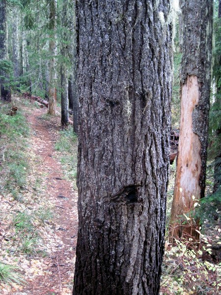
Here's a trail that's in a wilderness area. Don't let the spooky tree scare you away.
K
Is it in the Roaring River wilderness?
D
Yes it is.
K
Plaza Creek Trail?
D
No. This trail is more frequently used than that.
K
Just to narrow it down a little more.... If a raindrop were to fall into the scene presented, what river would said raindrop find its way to first?
D
The first actual river that it would come to would be the Clackamas.
D
Doug Firman said Thanks Don for the info on your trail discovery. I'll go check it out one of these days. Have you recovered other segments of the trail in that area? It looks like it would be an interesting area to explore. Here's a trail that's in a wilderness area. Don't let the spooky tree scare you away.Yes there are other segments of trail out there. You hike this one and come back and talk to me. Don
D
Would this be the Dry Ridge Trail ?
Don
D
Sorry, no, it wouldn't be. There's not a lot of elevation gain on this trail.
D
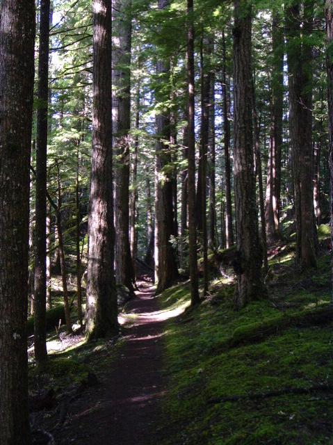
How about another clue? This trail can be combined with another trail to make an easy loop hike to a scenic location within the Roaring River wilderness.
D
It looks like Trail X to me.
D
D
That's because it is Trail X. Or was. The trail now has brand new signs on it calling it "Cripple Creek Trail 703." So maybe it's not Trail X any longer?
The tree in the photo is just past Cripple Creek Lake heading toward Cache Meadow.
Your turn.
D
 There you go. What trail was I on?
D
There you go. What trail was I on?
DD
Would that be that busy short trail down to the Clackamas they call the Alder Flat Trail?
Don
D
No banana.
It is another used trail.
D
R
I have no idea where that is. I need some sort of a clue.
K
Did Tarzan eat bananas?
Maybe "banana" is a clue. It doesn't look like the trail from Burnt Granite to Tarzan Springs to me, but I'll guess that it might be?
D
I have the picture in my Riverside file.
Now it does look a bunch like just before the 1966 Job Corps plaque on the Alder Flat trail and I must say it has been a while. But I think it is on Riverside near the Boy Scout bridge.
But since I am not sure anymore, how about, and double since that they are both low elevation, maybe the winner is the one who can duplicate the photo. Then and now. Then was almost ten years ago.
D.
Log in to reply.