
What trail am I on - Part 3
D
Donovan said:
It's the Rimrock Trail, all right, but it's the other end, just as it begins its descent down to Road 5830 and the Cottonwood Meadows trail. The trail is heading in a northeasterly direction at the point where the picture was taken.
Doug, is that the Rimrock trail looking out at the road at the west trail head?
It's the Rimrock Trail, all right, but it's the other end, just as it begins its descent down to Road 5830 and the Cottonwood Meadows trail. The trail is heading in a northeasterly direction at the point where the picture was taken.
R
Doug Firman said:
That is right before that really open area at the top of the hill, isn't it? Now I recognize it!
It's the Rimrock Trail, all right, but it's the other end, just as it begins its descent down to Road 5830 and the Cottonwood Meadows trail. The trail is heading in a northeasterly direction at the point where the picture was taken.
That is right before that really open area at the top of the hill, isn't it? Now I recognize it!
R
Donovan, I think it is your turn to post a photo (if you have any). If anyone has a photo left of a ditrict trail, feel free to post it.....
D
 Here you go. What Trail am I on?
Donovan
Here you go. What Trail am I on?
DonovanD
Donovan said:
Is that the view of Mt Jefferson from Ruddy Hill?
Is that the view of Mt Jefferson from Ruddy Hill?
R
I'm thinking Double Peaks.
D
That's right. Most uncomfortable peak in the District.
D
Donovan said:
So which was it, Ruddy Hill or Double Peaks, I couldn't tell from you answer? I hadn't been to either one so I was just guessing.
That's right. Most uncomfortable peak in the District.
So which was it, Ruddy Hill or Double Peaks, I couldn't tell from you answer? I hadn't been to either one so I was just guessing.
D
Sorry about that. I find this format hard to visually separate the posts.
Double Peaks. Ruddy is comfortable as it's blanketed in soft cinder.
Speaking of which, some of you adventurers might enjoy North Pinhead.
Donovan
D
Donovan said:
I see that the North Pinhead Butte had a lookout on it according to the '38 map. Is there anything else as far as history or geology that would interest someone? I take it you have hiked around the butte at some point in your earlier days of exploration. Don
Sorry about that. I find this format hard to visually separate the posts. Double Peaks. Ruddy is comfortable as it's blanketed in soft cinder. Speaking of which, some of you adventurers might enjoy North Pinhead. Donovan
I see that the North Pinhead Butte had a lookout on it according to the '38 map. Is there anything else as far as history or geology that would interest someone? I take it you have hiked around the butte at some point in your earlier days of exploration. Don
D
Donald Presley said:
Yes. Donovan
Donovan said:Sorry about that. I find this format hard to visually separate the posts. Double Peaks. Ruddy is comfortable as it's blanketed in soft cinder. Speaking of which, some of you adventurers might enjoy North Pinhead. Donovan
I see that the North Pinhead Butte had a lookout on it according to the '38 map. Is there anything else as far as history or geology that would interest someone? I take it you have hiked around the butte at some point in your earlier days of exploration. Don
Yes. Donovan
D
Donovan said:
You care to elaborate just a little, or must we go to said place and find out for ourselves?
Speaking of which, some of you adventurers might enjoy North Pinhead.Donovan
I see that the North Pinhead Butte had a lookout on it according to the '38 map. Is there anything else as far as history or geology that would interest someone? I take it you have hiked around the butte at some point in your earlier days of exploration. Don
Yes. Donovan
You care to elaborate just a little, or must we go to said place and find out for ourselves?
D
Donald Presley said:
If I elaborate, it wouldn't seem interesting. If I don't elaborate it will seem more interesting.
Donovan said:Speaking of which, some of you adventurers might enjoy North Pinhead.Donovan
I see that the North Pinhead Butte had a lookout on it according to the '38 map. Is there anything else as far as history or geology that would interest someone? I take it you have hiked around the butte at some point in your earlier days of exploration. Don
Yes. Donovan
You care to elaborate just a little, or must we go to said place and find out for ourselves?
If I elaborate, it wouldn't seem interesting. If I don't elaborate it will seem more interesting.
T
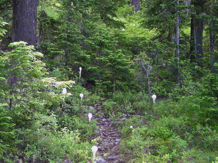
I've been following these, but haven't had a clue on most of them. Here's one that might stump you veterans of the Clackamas... but I doubt it! This is taken from an unmarked trail junction...
D
That kinda looks like the trail we fixed dropping into Squaw Lakes off 502 between Squaw Mtn and Twin Springs.
Donovan
T
That's it, alright. But from a few years ago (maybe 2004 or 2005?) I didn't realize that you'd maintained it -- what does it connect to? I didn't realize it had been a formal part of the system.
Tom
D
It goes down to the lakes and meadows. The bottom was private property. It was, I think, a muskrat ranch. I also think the saddle at the junction is an old camp.
Put up another picture for us.
Donovan
R
I noticed the private block on an old map...A muskrat ranch... man people will do anything for a buck! And way out there too.
T
A muskrat ranch..? Still wrapping my head around that! I do remember cattle grazing clear up into the 1980s, and then I think the Nature Conservancy (or similar organization) bought up the inholding. New maps no longer show the inholding, so I suppose that means the lakes have since been turned over to the USFS?
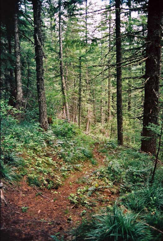
Okay, here's another -- I doubt a hint is needed, but this is a trailhead scene:
D
Tom that looks like the start of the Rimrock Trail coming out of Cottonwood Meadows.
Log in to reply.