
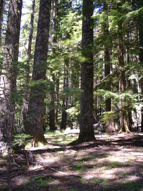
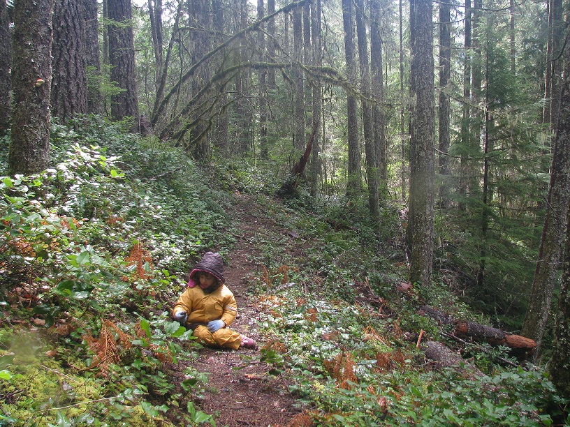
What trail am I on?
B
Rob Williams said:
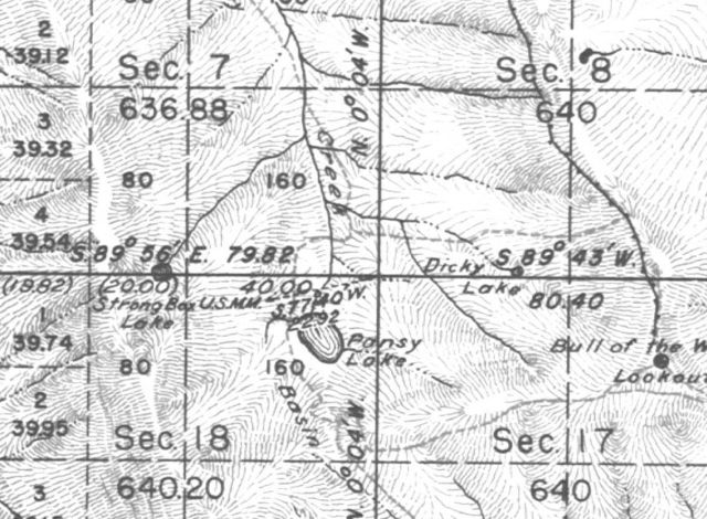
So what is the least visited lake to the west?I have a single map that calls it Strong Box Lake. Robert Kusick said:
I know little about the mining activity and lost trails in BOTW, is there a good resource for this stuff? It's somewhat forgotten.There is very little written about this stuff. One of your best resources are the old maps mentioned on my earlier post "The Oldest Maps". The Mother Lode area including the Pansy Lake area is Township 8 S 6E and you can find the original survey filing for Bill Bagby's 1886 mineral exploration in the area. There are dozens of other mining claim map filings there, only a few of which ever became producing mines. The maps themselves have ancient indian trails, the earliest mining trails, and some trails still in use today, and many which are now obscure and lost. So these maps are basic historical source materials.
D
 All right then. Here is another for you sleuths to peruse.
What trail am I on?
D.
All right then. Here is another for you sleuths to peruse.
What trail am I on?
D.R
Is it near Salmon-Huckleberry?
R
Bryon Boyce said:
 Is this the kind of map you are referring to?
There is very little written about this stuff. One of your best resources are the old maps mentioned on my earlier post "The Oldest Maps". The Mother Lode area including the Pansy Lake area is Township 8 S 6E and you can find the original survey filing for Bill Bagby's 1886 mineral exploration in the area. There are dozens of other mining claim map filings there, only a few of which ever became producing mines. The maps themselves have ancient indian trails, the earliest mining trails, and some trails still in use today, and many which are now obscure and lost. So these maps are basic historical source materials.So I'm wondering which maps you are referring to. I've gotten a bunch of Cadastral maps dating from the 1890's to the 1940's (depending on what area it is), but the Pansy Lake area I don't see any mining claims. Here is the section around Pansy Lake:
Is this the kind of map you are referring to?D
Robert Koscik said:
Is it near Salmon-Huckleberry?Near? Yes.
D
Is this on the Old Baldy Trail between the 504 and 505?
B
Is your picture taken on the way to Cache Meadows?
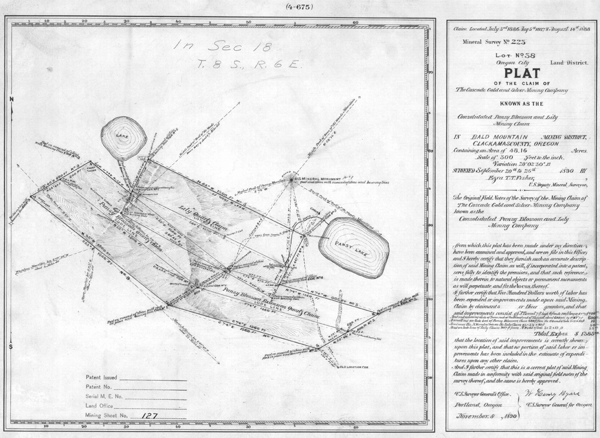
So I'm wondering which maps you are referring to. I've gotten a bunch of Cadastral maps dating from the 1890's to the 1940's (depending on what area it is), but the Pansy Lake area I don't see any mining claims.Yes. The same BLM source that published those online also has placed online all the mining claim filings also. Here is the one for the mine in question, and it also shows the green lake pictured in my earlier post. It also shows cabins at Pansy Lake and it is well to know that this claim was made by Bill Bagby after which the Hot Springs in the next valley over was named. I shrunk this some to get it under the 1 mb limit. The larger original is on the BLM site.
R
It feels like the Bissel Trail, or at least that area with all the nobles. Not much of a tread.
D
Robert, that is correct.
Now you get to find us a picture!
D.
R
It's about damn time!
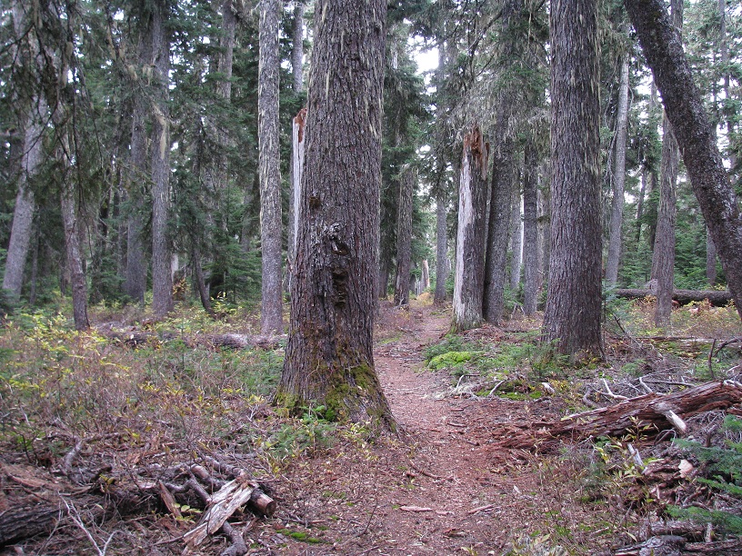
This is an active trail.
R
Robert Koscik said:
This is an active trail.That doesn't look distinctive enough for me....You are going to have to give a clue. Is it in a wilderness area? It kind of vaguely reminds me of the Fanton/Old Baldy area....
D
Hillockburn?
D.
R
No to Hillockburn.
It's a very old trail that doesn't get a lot of use.
D
Are there power lines parallel on the right?
D.
D
Bob, is this trail in one of the new wilderness areas?
R
No powerlines.
Yes, in a new wilderness area.
D
West Grouse Point before the plunge?
D.
R
That's it! I knew you'd get it. The clues made it too easy. Well at least I stumped you guys for a couple days.
D
Well I'll tell you what. Since I'm out of pictures, why don't you go ahead and stump us again. Cover for me would you?
D
R
Ok you're on. I have a zillion photos anyway.
This is not in a wilderness area:
Log in to reply.