
What trail am I on? Winter 2011
R
This trail would be farther north. Much farther.
K
Okay, what about Memaloose Lake Trail?
R
Keep heading north.
K
Huxley Lake Trail?
R
Now you are a little too far north, and too far west. Come east, young man!
K
Anvil Lake Trail?
R
We have a winner! That is on the Anvil Lake trail, which goes right by Black Wolf Meadows. While the lake isn't anything special, the meadows are VERY interesting...
Your turn to post a new photo.
K
Here's a picture taken slightly below the trail. I think the trail is near the live pine tree on the horizon.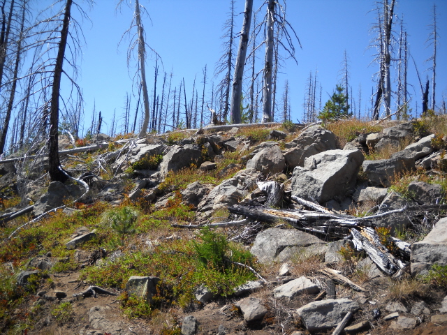
K
Kirk Tolstrup said:
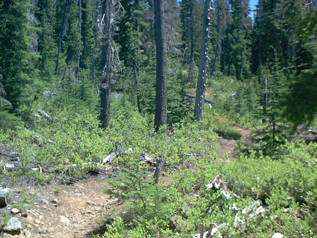
Mon-Olallie?
Here's a picture taken slightly below the trail. I think the trail is near the live pine tree on the horizon.
Mon-Olallie?
K
Close enough! The intersection of 732 and 729 is within a hundred yards. The picture was taken with Monon Lake right behind the photographer.
Your turn!
K
R
That definitely looks east side....Olallie area probably. I'll guess the Red Lake trail?
D
Could it be the PCT in the Olallie Lake Area?
D
Looks like Red lake to me as well. The stretch off the west side of the divide from the Skyline Trail towards Sheep Lake. A legendary stretch of erosion.
D.
K
Red Lake Trail it is.
R
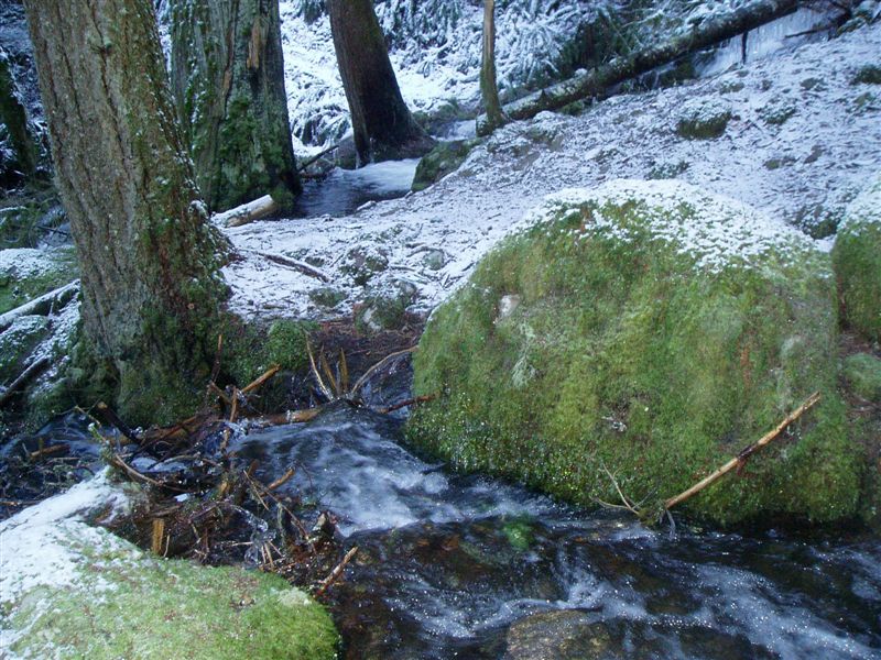
I guess it is my turn to post a new photo. Hopefully this isn't too easy. It is a creek crossing on a current district trail in a wilderness area:
R
Wow, I'm really surprised no one has guessed anything. This is a pretty easy one I think if you've been on this trail. It is reasonably well travelled trail (especially in the winter).
M
I'm going to guess Clackamas River Trail, about half a mile below Pup Creek Falls?
R
Matt Reeder said:
You are in the correct area.
I'm going to guess Clackamas River Trail, about half a mile below Pup Creek Falls?
You are in the correct area.
M
Rob Williams said:
I guess it is my turn. This is in a wilderness area (I think).
Matt Reeder said:I'm going to guess Clackamas River Trail, about half a mile below Pup Creek Falls?
You are in the correct area.
I guess it is my turn. This is in a wilderness area (I think).
Log in to reply.