
What trail am I on?
Donald Presley said:Is the trail in one of the new wilderness areas, or in the Bull of the Woods?
At least part of the trail is in Bull of the Woods and I can't wait to hike this trail again.
Donald Presley said:Seeing how I have only been on about a third of the trails in the Bull of the Woods, and it doesn't look like one that I remember, I will have to quess. I know you are always talking about the Dickey Creek Trail #553, is that a picture from that trail?
Well that is a very good guess! You are right! that picture is in one of the old growth areas of the trail, right near a boggy area. You walk right between those two big trees....Very cool!
Your turn....
I got lucky on that one.
This trail forms a boundary with one of the new wilderness areas along part of it's path. It is a current district trail, but is not on the current district map.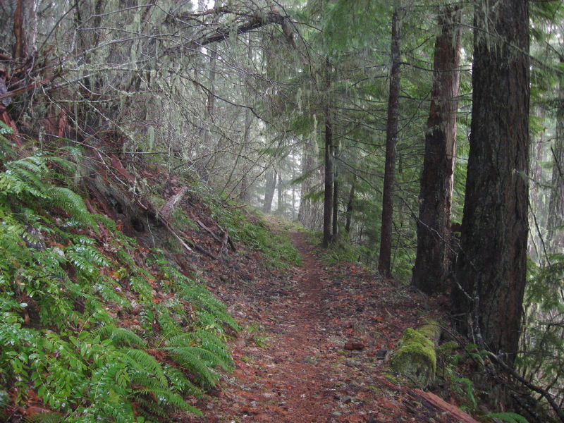
Donovan said:Cripple Creek, along the old "ditch" or pipeline grade for the hydraulic excavation and back filling of the Oak Grove Project pipeline?
That is what I was going to guess. This looks to me like the area just past the "hillside meadow" if my memory serves me.....
It's at the top of the second rock field. Distinctive for width and it's perfectly level.
Here comes my next picture.
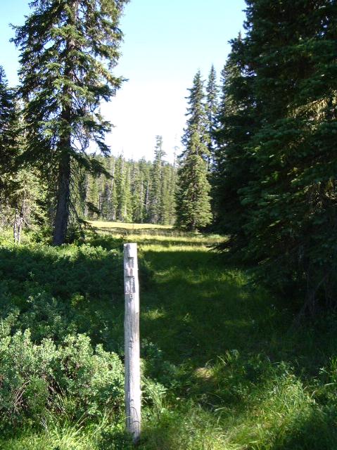
Doug Firman said:Donovan, that looks like it could be Cache Meadow.
No. This one doesn't retain water like Cache. At one time, six trails met here. One remains on system and three of the others (long abandoned) can be followed for a little ways. Can'f find the last two.
Yep. Black Wolf Meadows. 724 Trail. Half of which is a fragment of the Estacacda/Clackamas Lake Trail. I am not sure if the blaze posts are still intact. Something for us to do.
Donovan
OK, I guess I'm up then. Hopefully this will be a little harder than some of the others. This is from a short, little used trail in the district. I don't think it is in a new wilderness area, but I do think it is officially unmaintained.
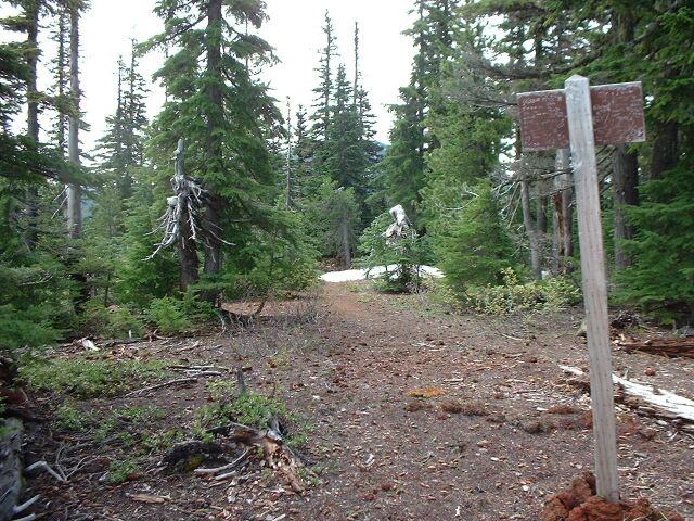
I would guess that the trail is the one mentioned on the otherside of the sign.
Does the trail go to a destination like a lake or peak, or is it a connector trail?
Donald Presley said:I would guess that the trail is the one mentioned on the otherside of the sign.
Does the trail go to a destination like a lake or peak, or is it a connector trail?
The sign is the mark of the "destination" and it is on top of something. Sort of a peak. I took the picture of the sign to show all the graffitti on the back side.
Donovan said:Potatoe Butte?
I knew that was too much of a hint! Yes, it is Potato butte, elevation 5280 feet. I was up there with my daughter several years ago early in the season (which is why there was still snow up there). I was there a few months ago as well.
Your turn!
Log in to reply.