
What trail am I on?
P
Donovan said:
The way I went there was due east from the trail through dense rhodedendron and not a route I would ever do again. I'm hoping an approach from the south along the rim will be more favorable. The point is very clear of brush and is a worthy destination - in my photo, the view of the upper part of Hood is obscured by clouds otherwise it would be visible. --Paul
The elusive Grouse Point. Beside the trail is a site where there was a cabin I am told. An old road leads into there. A clearing remains. Also, there is a parallel trail in the 510 junction vicinity. Didn't run high like the current trail to the helipad. I always concluded that Grouse Point was grown in with Rhododendrons. Which are pretty much impenetrable. If you are up there again, maybe you could flag the point you jog off the trail to get to the Point. D
The way I went there was due east from the trail through dense rhodedendron and not a route I would ever do again. I'm hoping an approach from the south along the rim will be more favorable. The point is very clear of brush and is a worthy destination - in my photo, the view of the upper part of Hood is obscured by clouds otherwise it would be visible. --Paul
D
Alright. Here we go.
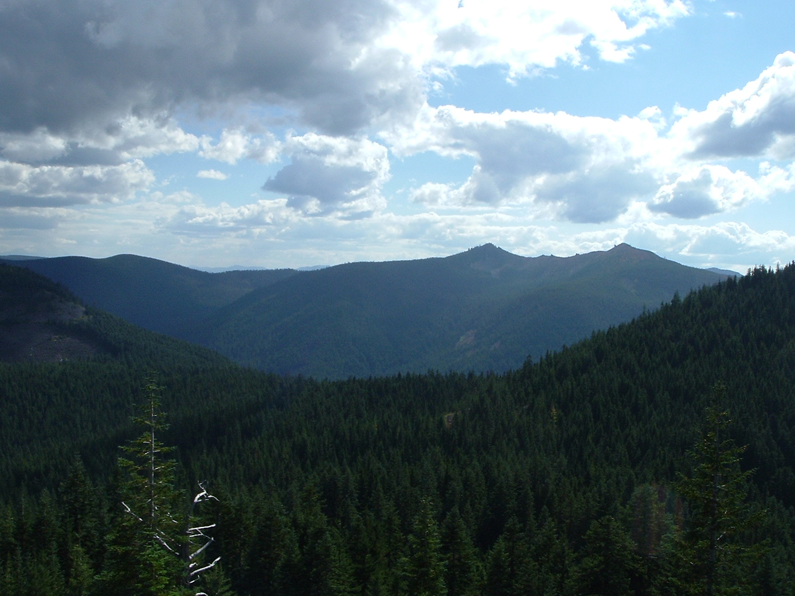
This is slightly out of District but the trail starts in our District, just. It is an abandoned trail in a wilderness. This view from a landmark off the main trail.
R
I was going to say the Plaza trail, but that view doesn't look quite right and I don't think the Plaza trail is officially abandoned?
B
Paul Turner said:
Actually thats my post!
The picture I referred to was from this trip report on Portland Hikers: http://www.portlandhikers.org/forum/viewtopic.php?f=10&t=5231&start=0&st=0&sk=t&sd=a I've been wanting to get out that way for a while. There may be some stuff in there that might help you efforts.
Actually thats my post!
D
Rob,
No, not Plaza area, but, you are barking up the right tree.
D.
D
Ok. Here's a clue for the recent picture.
The point from which the view is taken and the trail are of the same name.
D.
K
Are we looking to the East and are those Signal Buttes in the distance?
D
Those are Signal Buttes, but we are not looking East.
K
Is it Hambone Trail and Hambone Butte?
D
Indeed it is!
Your turn to post a trail picture. We haven't used all your pictures up, yet.
D.
K
I don't have many trail pictures. But I did find some my daughter took this summer. Here it is: 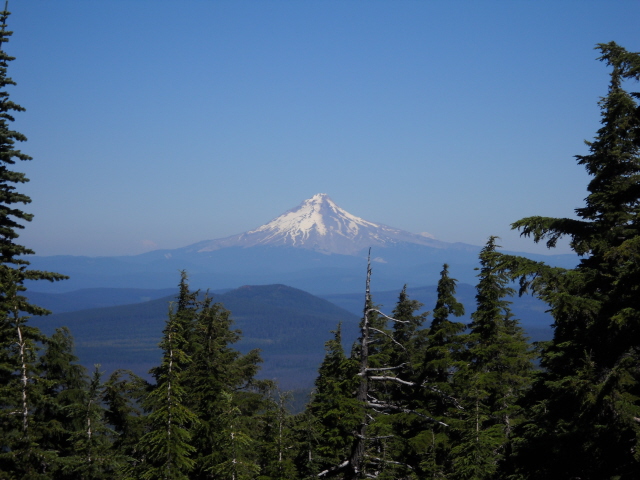
B
Looks like its taken from a little ways north of Mount Lowe on the Rhododendron Ridge Trail. I took a very similar picture there last year.
K
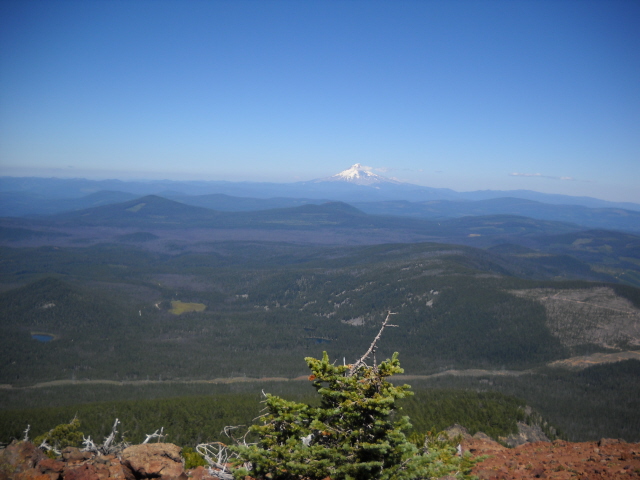
Good guess --- Here's a clue: The trail begins in the Clackamas River Ranger District but the picture was taken on a part of the trail outside the district. Here's a wider view farther up the trail:
D
Do I hear dice rolling?
K
If you have a bionic ear and point it this way you should be able to hear the dice at Indian Head.
B
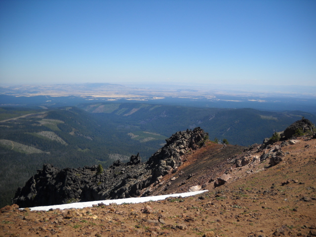
Olallie Butte - just up there Sunday - what took me so long?
K
Very good ---- the ball's in your court now.
B
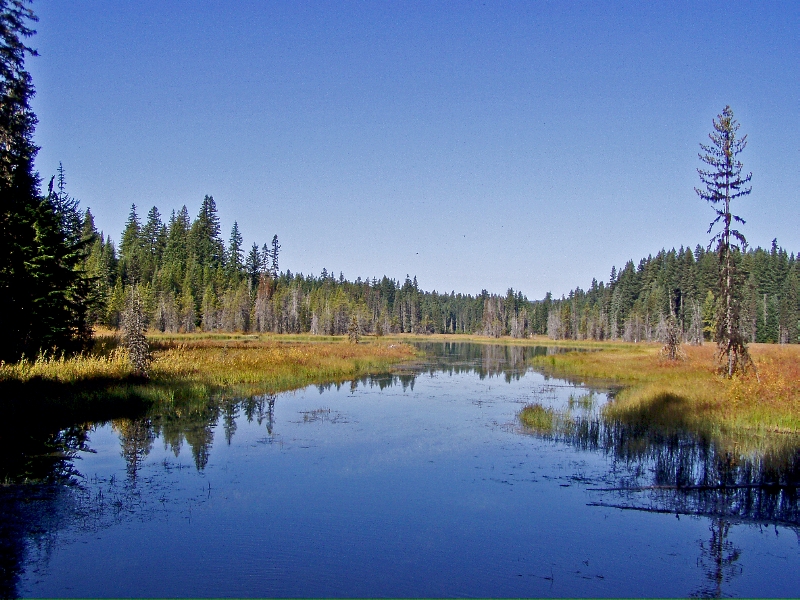
This water is not in a Wilderness. The picture is taken from a short sidetrail that drops down from the main trail.
D
Anvil Lake?
B
Nope. But you are less than 10 miles off. Trails once connected the two.
Log in to reply.