
What trail am I on?
As a way to encourage conversation or use of this site, we thought that we would start a What trail am I on? contest or quiz. I will start by posting a picture taken from a trail in our district that shows some land features that should be recognizable if you had been on that trail before. The only rules or parameters for the photos or postings are as follows:
-no larger than 800 X 600 photos
-you must make a distinction that it is an abandoned or current district trail
-the trail must be in our district
-some hint should be given
-answer any questions posted about the photo
-the one who identifies the trail gets to post the next photo
So here we go.
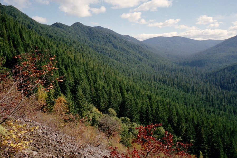
This trail is an abandoned one and is classified as a 'way trail'.It hasn't been on a map for quite sometime or seen any maintenance for 50+ years.
I've already guessed the trail above, but I thought I would give others a chance to guess. Here is one from my travels:
This trail is a current district trail that isn't very long and isn't very well used, but is in a very interesting place (at least I think so).
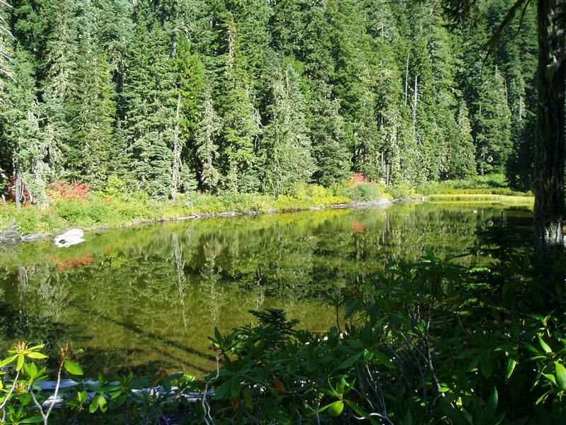
I am guessing the SW corner of Cottonwood Mdw Lake, but you're not standing on the trail?
As for Don's, I will also let someone else figure that one out.
Donovan
I am guessing the lake is Skookum Lake. I drove there many years aog, but I've been wanting to hike there.
As for the other "trail", that sounds like an expert class question, so I'll pass.
This is my submission.
This is the view at switchback on the mystery trail.
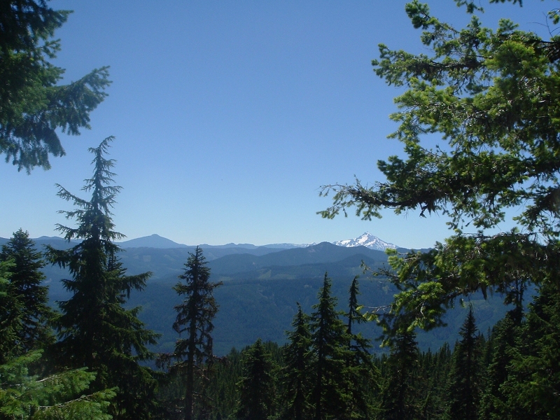
 Since I haven't had anyone guess which trail my picture was from, I thought that I should give some more clues. The trail is in the new Roaring River Wilderness, and that it transects the whole wilderness area, from the north to the south. This picture was taken from the same place as the other one, only looking southeast instead of east as the other was.
Rob Williams said:Donovan, I'm going to guess the Whetstone trail?
Close, but no banana. You are on the right stem of the Collawash.
Donavon, I would guess the Baty Butte Trail.
As for the trail I posted, here is another clue:
The trail is named after a creek which the trail follows and on some of the older maps the creek used to be called Chatter Creek.
Donovan said:Rob Williams said:Donovan, I'm going to guess the Whetstone trail?
Close, but no banana. You are on the right stem of the Collawash.
Ok, my next guess is/was Thunder Mountain....
Rob Williams said:Donovan said:Rob Williams said:Donovan, I'm going to guess the Whetstone trail?
Close, but no banana. You are on the right stem of the Collawash.
Ok, my next guess is/was Thunder Mountain....
You got it!
Your turn.
Donovan said:Rob Williams said:Ok, my next guess is/was Thunder Mountain....
You got it!
Your turn.
Woo hoo! I think I've taken a picture from the same switchback, and I'm pretty sure I remember which one it is on. Next picture coming up
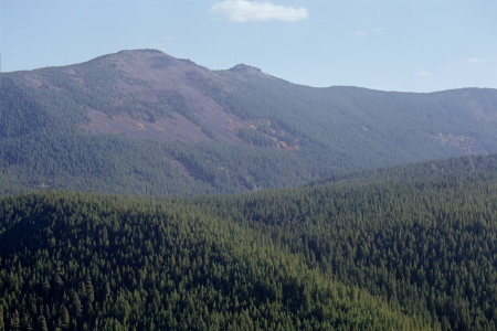
OK, this is on a current district trail and it used to have a lookout somewhere on the trail.
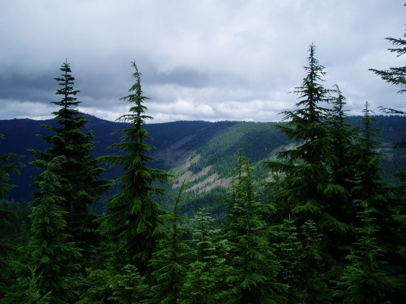
Rob Williams said:OK, this is on a current district trail and it used to have a lookout somewhere on the trail.
Kinda looks like the view towards Squaw Mtn from the Grouse Point Trail at the little semi clearing just east of the junction with Dry Ridge?
Donovan said:
Kinda looks like the view towards Squaw Mtn from the Grouse Point Trail at the little semi clearing just east of the junction with Dry Ridge?
Wow, you have a good eye, but that isn't quite right. You are in the right general vicinity, just a little too far south.
Log in to reply.