Monon Lake Trail Elevation Profile
Note: This trail was damaged in the Lionshead fire.
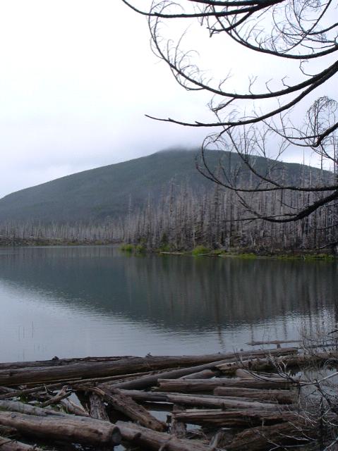
The info sheet is quite thorough. There has been a large burn which has altered some of the aesthetics of this delightful trail, arguably making it more interesting. The trail does not go completely around the lake. The west side requires a bit of road walking to complete the entire loop.

MIST SHROUDED OLALLIE BUTTE GUARDS MONON LAKE

Comments
Monon Lake Trail 729 — No Comments
HTML tags allowed in your comment: <a href="" title=""> <abbr title=""> <acronym title=""> <b> <blockquote cite=""> <cite> <code> <del datetime=""> <em> <i> <q cite=""> <s> <strike> <strong>