
 Paul I hope your are bringing a tall ladder or plan to climb a nearby tree or bring your chainsaw, for most of these sites have grown in with trees. They clearcut these sites for a reason, so that they could see firstly for firewatch and secondly for firewood. Some sites I hear have been improved through the years, but most are overgrown with trees. Been to Old Baldy lately? I guess this photo could have be posted under the Great Volunteer Moments, but I will use it here instead.
Don
Don,
Ha! I've been there on Old Baldy and no, it would not be high on my list of spots to visit for a panorama. Interesting to me how several of the lookout photos show all the trees cut down like you mention - sometimes I wish old lookouts locations could be maintained for the views. Tumala Mtn is one I'll visit for this purpose - Tumala Meadow in the lookout photo looks like a bomb crater. Salmon Butte and Signal Buttes will be interesting and I've never been to the top of Frazier Mtn. Several spots in the Gorge, especially Tanner Butte might be neat to compare old and new.
--Paul
 I failed to mention a third reason for clearcutting around the lookouts, probably the most important one, as a fire break should a forest fire come through the area. Tumala Mtn still has pretty good views, as does Signal Buttes. I haven't been to Salmon Butte or Frazier Mtn, but they are on my list, maybe this year. That would be neat if the phonebox was still up on Frazier. The one on Ruddy Hill is deteriorating rather fast, or has seen it's better day.
Don
Still having views, well, Thunder Mtn, South Fork Mtn, Olallie Butte, Mt Lowe, Hawk Mtn, Squaw Mtn, High Rock, others?
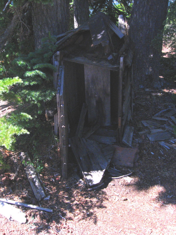
High Rock is interesting with the camp details, the famous potty in the sky, the moon scape surroundings.
The most difficult to find I think would be Rho Ridge. That site burned. Kerosene accident I believe I was told. I think the GS we know collapsed in the meadow edge is below this spot. I have found it difficult to pinpoint where the panorama was taken from in this case.
Don2
While perusing the Collawash Mountain lookout photos, I noticed that on the left edge there is some information recorded. Most of it is readily understandable, but I couldn't figure out what the "H.I." annotation meant. I began reading We Climbed The Highest Mountains by Albert Arnst and on page 1 I read this: "Mapping onto half-inch base and topographic maps the 'seen areas' as shown on each photo."
That makes me think that the "H.I." annotation is an abbreviation for half-inch. Can anyone verify if that's the case?