
Just so I can get my bearings, is that next hill toward the mountain, Battle Ax?
Bryon Boyce said
Nobodys biting, so here goes:At the end of what trail was this picture taken?
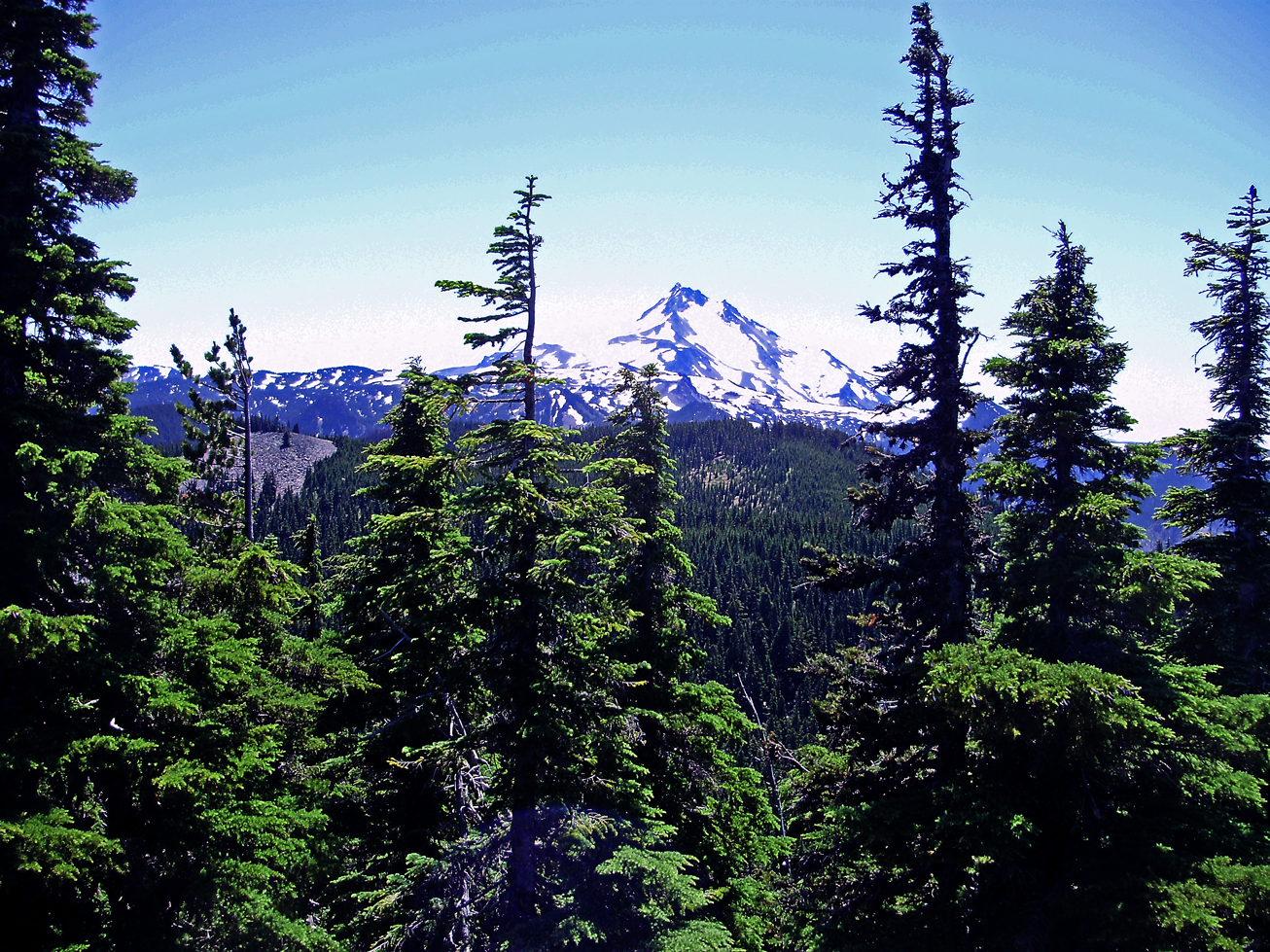
I haven't been up there but that looks like the view from Double Peaks. It's got to be somewhere in the Olallie Lake area.
Whoa... I was way too far west.![]()
So the last two winners haven't even been to the site shown and still they get it right! Are you guys good or what? ![]()
Matt, you got this one. That's Jeff from Double Peaks. Your turn to go.
The Double Peaks Trail is shown inaccurately on many maps. It does not go up the east face, which would require serious climbing iron. Instead the route passes to the north of the peak and finally makes its way steeply up the NW side.
Bryon Boyce said
So the last two winners haven't even been to the site shown and still they get it right! Are you guys good or what?Matt, you got this one. That's Jeff from Double Peaks. Your turn to go.
The Double Peaks Trail is shown inaccurately on many maps. It does not go up the east face, which would require serious climbing iron. Instead the route passes to the north of the peak and finally makes its way steeply up the NW side.
I only got it because it looked so much like the view from Ruddy Hill. They have different access points but are so close to one another I figured that had to be Double Peaks.
I don't know if this is permitted or not but I've run out of photos you guys won't easily get. This is a photo taken about 20 feet from a "trailhead" to an unofficial trail in the district. If you guess the body of water, you guess the trailhead and therefore the trail.
