
What Trail am I am - Fall Edition
D
Is it the lower end of the Rho Creek trail, between the road and the river?
R
It..............is! And quite a guess! It's actually steps from the Clackamas, where the trail used to cross the river, somehow...
Congrats, your turn.
D
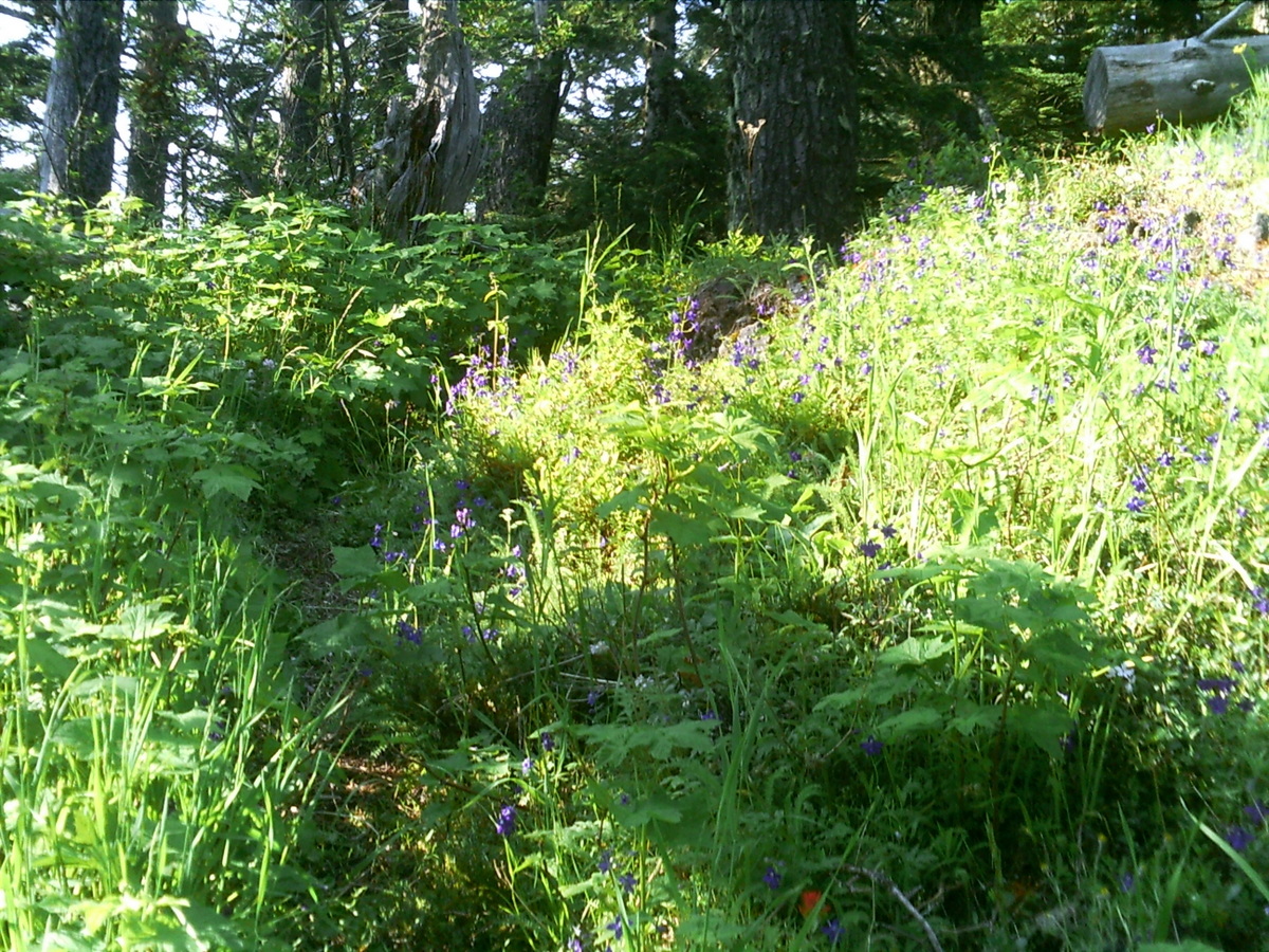
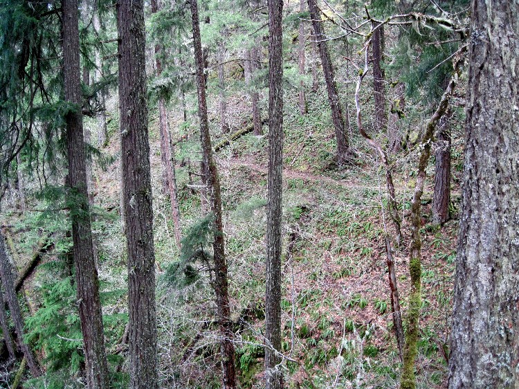 Where is this trail? It's not in a wilderness area (as far as I know).
D
Is that the Old Baldy trail between Fanton and Squaw Mtn?
Don
D
You're a little too far north. And I'm really not sure about the wilderness thing. Maybe it's in or maybe it's not.
R
Doug Firman said You're a little too far north. And I'm really not sure about the wilderness thing. Maybe it's in or maybe it's not.I have no idea where it is - it doesn't ring any bells for me, but you can see if it is in a wilderness area by looking at the map here: http://www.trailadvocate.org/wp-content/uploads/2010/02/mthood_overview.pdf There are detailed maps for each of the wilderness areas here: http://www.trailadvocate.org/?page_id=389
D
Thanks, Rob. I had already looked at those maps and I'm still not sure. And that could very well be a clue.
D
Cripple Creek below the hillside meadow, and the seasonal water cascade?
Don2
D
Yes, it is Cripple Creek, between the little waterfall and the meadow. The reason I wasn't sure about it being (or not) in the wilderness is that the maps show the boundary of the Roaring River wilderness running along or adjacent to the trail. But it's not clear whether the boundary includes or excludes the trail.
Your turn.
Doug
D
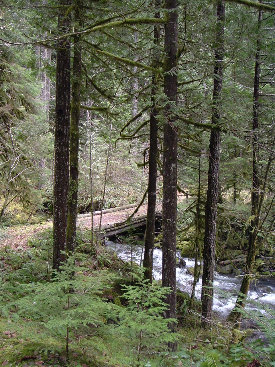
OK, here you go. What trail am I on?
K
Is that picture taken fairly close to the river? And if it's the bridge I'm thinking of, it's not in very good shape anymore.
D
Isn't that the bottom end of the Cripple Creek Trail just above the Clackamas River? I do know that that bridge doesn't work anymore, so bring your wading shoes.
Don
D
Yes, the very bottom segment of Cripple Creek Trail.
That trail will be difficult to enjoy without the bridge.
You are winners!
Don2
D
Kirk if you want to post one go ahead, for you had it figured out before I did anyway.
The powers that be decommisioned that road segment that you walk on coming up the lower section of Cripple Creek, making it not quit as enjoyable as it used to be.
Don
D
I haven't been there for a while.
Are you saying they tore up the old railroad grade? The walking link to the upper trail head?
Don2
R
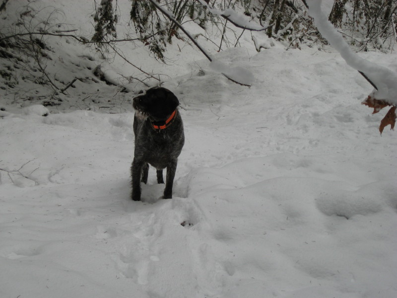
Well, we did that section of trail two years ago (on new years day), and the bridge at that time had collapsed. I didn't recognize it since it was all white when we went. Looks a lot different in the snow, but I guess Don and Kirk are better at seeing things than I am.
At that time, the railroad grade was still there, and the route up to the "real" trailhead was still there and in pretty good shape. Might have to do that section again soon.....
D
The railroad grade had little hillocks put on it, maybe by a bobcat or similiar small machine, making it uncomfortable to drive or walk on it. It isn't as bad as the Fish Creek Mtn trail segment, but you do have to watch where you are placing your feet.
Don
D
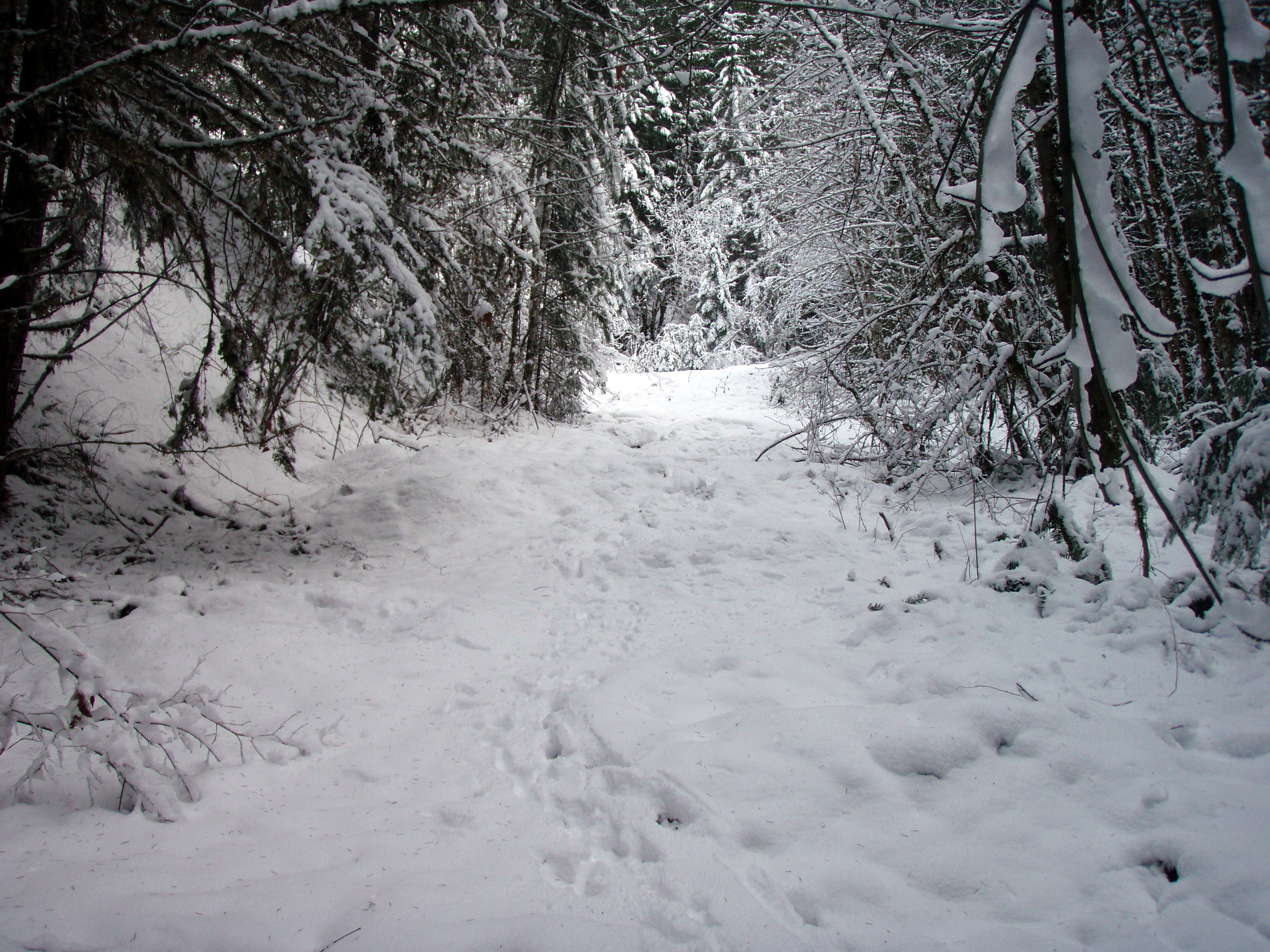
 Here is the only photo from that day 2 years ago I could find of the railroad grade. With 6 inches of snow the little hillocks are kind of hard to see, probably why Rob didn't remember it.
Don
Here is the only photo from that day 2 years ago I could find of the railroad grade. With 6 inches of snow the little hillocks are kind of hard to see, probably why Rob didn't remember it.
DonR
Here is one of my photos from that day:
K
Here's a picture for your viewing enjoyment and conjecture:
Log in to reply.